Weather and Transportation: Planning Your Trip to the US
The varied climate and landscapes of the US mean it’s never a bad time to visit. Here’s what you need to know.
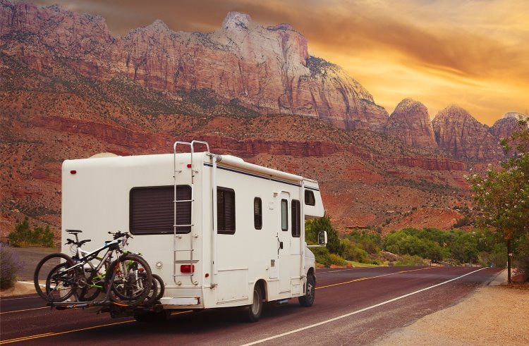 Photo © Getty Images / stellalevi
Climate and Weather in the USA
There’s never a bad time to visit the US. While the west coast’s maritime climate is mild year-round and Hawaii is consistently balmy, some regions enjoy four distinctive seasons – sometimes all in one day.
Beware Mother Nature’s fickle moods at certain times of year. Unless you like it hot and steamy, summer might not be best for a Southeastern sojourn. Expect searing summer temperatures in desert states, including California, Nevada, Utah, and Arizona.
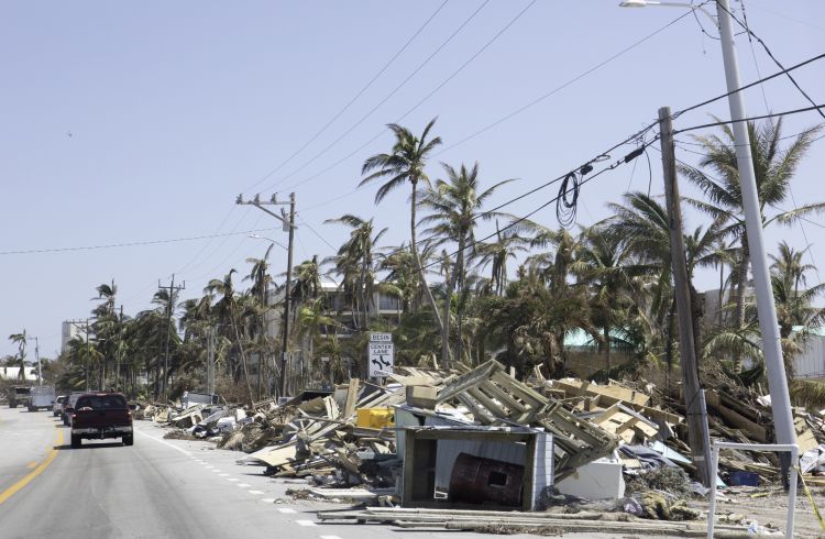
From June to November, hurricanes can affect Gulf of Mexico and Atlantic coastal states, with late August and September typically the peak. Spring brings tornado threats to a swathe of the Great Plains known as Tornado Alley.
Here is when to travel where, and what to watch for:
Winter (December-February)
Powder hounds can get their fix in the Pacific Coast Ranges and Rocky Mountains of the west or the Appalachians in the east. Or dodge the cold with a winter sunshine escape in Florida.
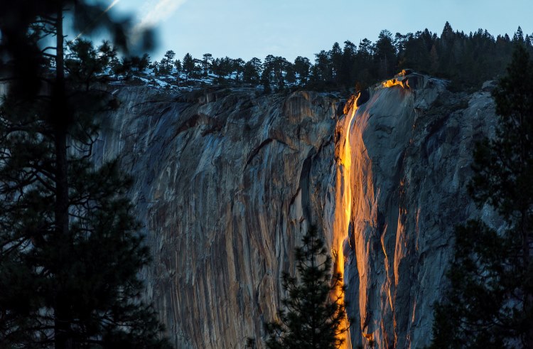
Highlights: Winter is less crowded at popular National Parks like Yosemite and Yellowstone. See Yosemite’s rare firefall in February, when Horsetail Fall resembles cascading flames in the low sun. Yellowstone is stunning in the snow, with wolves easier to spot.
Spring (March-May)
Spring comes late in northern states and higher elevations, but makes up for it with an explosion of blossoms.
Highlights: Wildflowers bloom in the alpine meadows of the Four Corners region where Arizona, Utah, Colorado, and New Mexico meet. Or visit Nebraska for the spectacular, annual sandhill crane migration.
Summer (June-August)
Ski resorts become mountain playgrounds. Beaches beckon on every coast and lakeshore. National and state parks offer adventures (and visitors) galore. Snowmelt and warmer weather makes summer perfect for white-water rafting in Colorado.
Highlights: Go whale watching off Maine, Massachusetts, and Long Island. Or watch the world’s largest colony of urban bats leave their downtown Austin, Texas bridge roost every evening at dusk.
Fall (September-November)
Autumn brings a kaleidoscope of colors and harvests of grapes and pumpkins. Snow returns to higher elevations, while the fierce heat of summer dissipates in desert states and the Deep South.
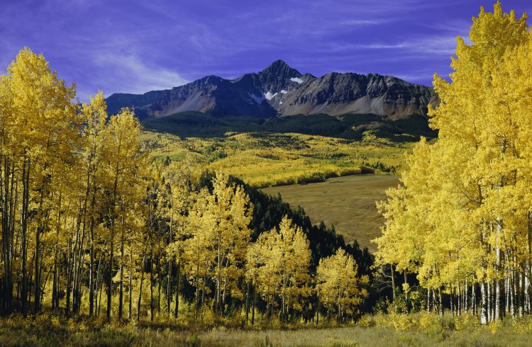
Highlights: See the brilliant yellows and golds of Colorado’s aspens and glorious fall foliage displays across New England, Oregon’s Columbia River Gorge, the Great Smoky Mountains, and Michigan’s Upper Peninsula. Grizzly bears feast on salmon in Alaska until late September, while fall is the start of Alaska’s Northern Lights season.
Getting Around the USA
It’s easy to forget just how big this country is. More than 1,500mi (2,415km) from north to south and nearly 2,700mi (4,345km) across, the mainland USA spans four time zones. So, what’s the best way to explore its cities, rural communities, and beyond?
Flying
For long-distance journeys, where time matters, flying wins. It’s also good value, as competition from low-cost airlines has driven ticket prices down.
But because airline routes radiate from large hubs, getting from A to B often involves flying via C and even D if traveling between regional airports. Domestic baggage allowances are lower than on international flights and you’ll pay for every bag. Factor in the extra time at airports and the hassle of security screening, and its appeal wanes.
Hit the Road
Built around the automobile, the USA is crisscrossed by multi-lane freeways and state highways. Driving is a joy and inexpensive thanks to low fuel prices; I rarely spend more than US $40 on a tankful of gas (as it’s called here).
Expect traffic jams driving in and around big cities. The five most-congested cities are Los Angeles, New York, San Francisco, Atlanta, and Miami. Overnight parking at city hotels is also expensive, even more so for valet parking.
Renting a car in one state and dropping it off in another typically incurs a hefty one-way drop-off fee, sometimes hundreds of dollars.
Road signage can also be confusing. Missing a turn or taking a wrong freeway exit can scupper plans – as I discovered on an early Miami trip when I got lost for hours trying to find the Everglades and accidentally drove onto the old, banked Miami racetrack after a wrong turn. Thankfully, these days you can rent a GPS unit along with your car for around US $10 a day, or use a smartphone app.
Trains and Buses
Why not relax and see the USA by train? Long-distance routes are limited, but offer wonderful, scenic journeys like Amtrak’s Los Angeles-Seattle Coast Starlight train.
Long-distance buses are popular and affordable, operated by Greyhound, Megabus, and other companies. Bear in mind some longer journeys may involve several changes of bus.
City Transportation
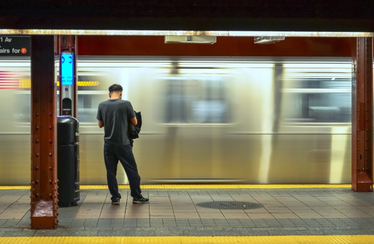
Most American cities have minimal public transport – usually only buses – although some have light-rail systems, with Uber, Lyft, and taxis as alternatives. Notable exceptions include New York’s huge subway system, Washington DC’s metro, San Francisco’s BART network and cable cars, Boston’s subway, New Orleans’ street cars, and Chicago’s L trains. Los Angeles is also expanding its six-line Metro Rail system ahead of hosting the 2028 Olympics.
Homes on Wheels
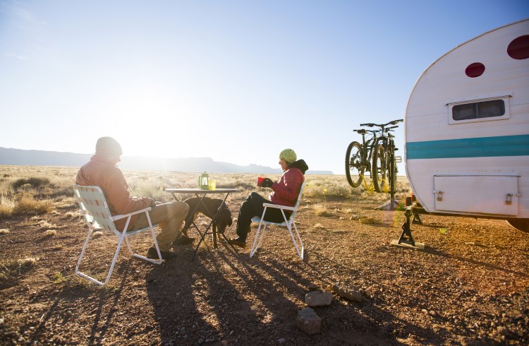
My favorite way of exploring the USA? Nothing beats trundling around the great American outdoors in an RV with all its home comforts, stopping where you want to brew a cuppa and dine al fresco.
It isn’t cheap; family-size RVs can average less than 10 miles (16km) per gallon and camping fees in national parks and popular areas add up. But it’s the most fun you can have on four wheels.
Just don’t lock yourself out, as I did when stopping to empty the trash at my final Wyoming campground, prior to a three-hour drive back to Denver to drop it off.
Related articles
Simple and flexible travel insurance
You can buy at home or while traveling, and claim online from anywhere in the world. With 150+ adventure activities covered and 24/7 emergency assistance.
Get a quote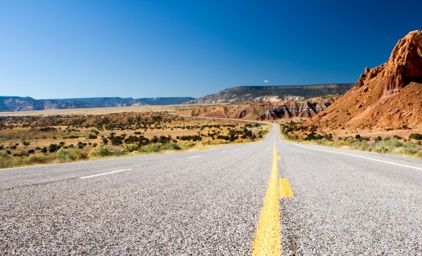

No Comments